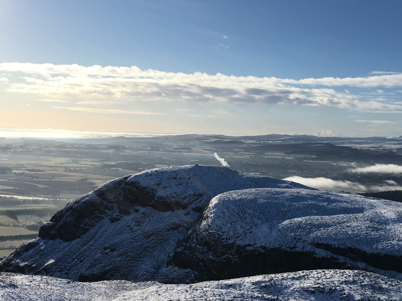
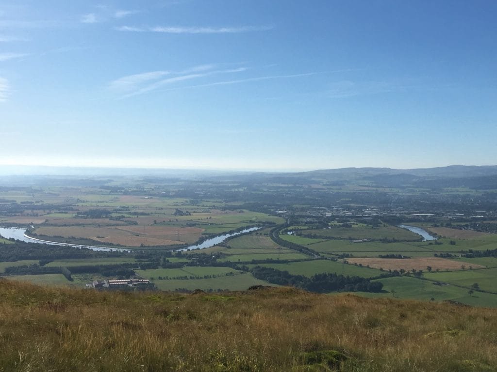
Stirling’s incredible landscape was formed hundreds of millions of years ago when it sat on a geological fault: the south-facing scarp of the Ochils. The area where the Forth now flows dropped by 3-5km forming a massive rift valley. The fault is still active and every few years there is an earthquake, though very small – just enough to wake people up in the night.
The fault is still active and every few years there is an earthquake….
Murray Cook
Also in This Issue
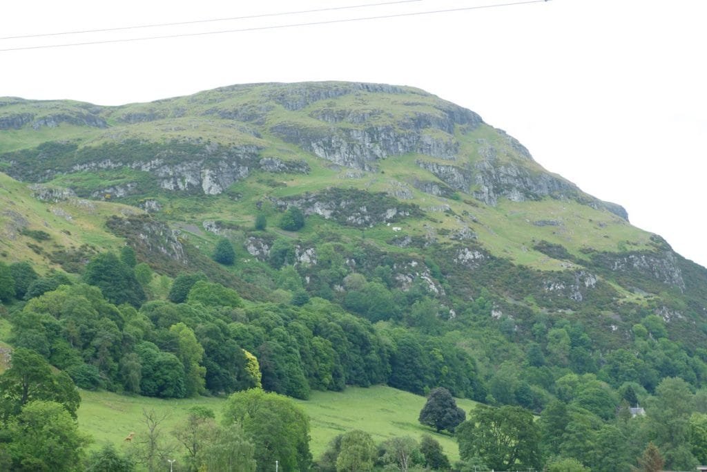
This rugged landscape was in turn buried by tonnes of ice. There was at least 1km of the glacier above our fair city, grinding, crushing and pushing. Indeed, the ice was so heavy that it depressed all of Scotland (a bit like the football/rugby results), and we’re still recovering – while you read this piece you have become slightly higher, thanks to a process called an isostatic bounce.
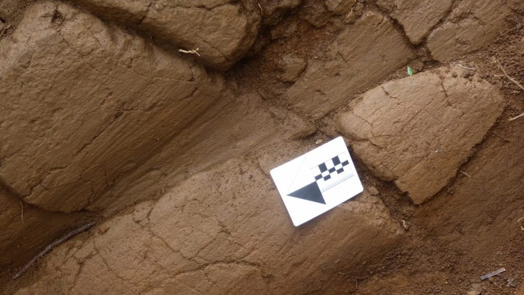
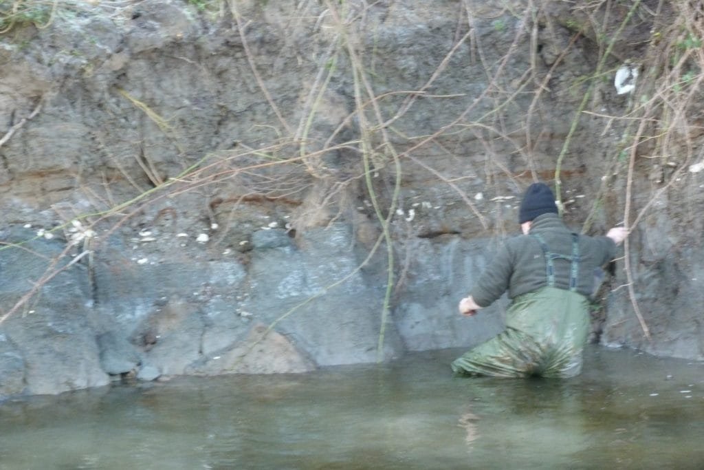
The last of the ice melted 10,000 years which created a vast inland sea and 6000-year-old oyster beds can be seen under 2m of soil. This vast lost sea slowly drained as Scotland bounced back, becoming a bog so people could only live on the high ground.
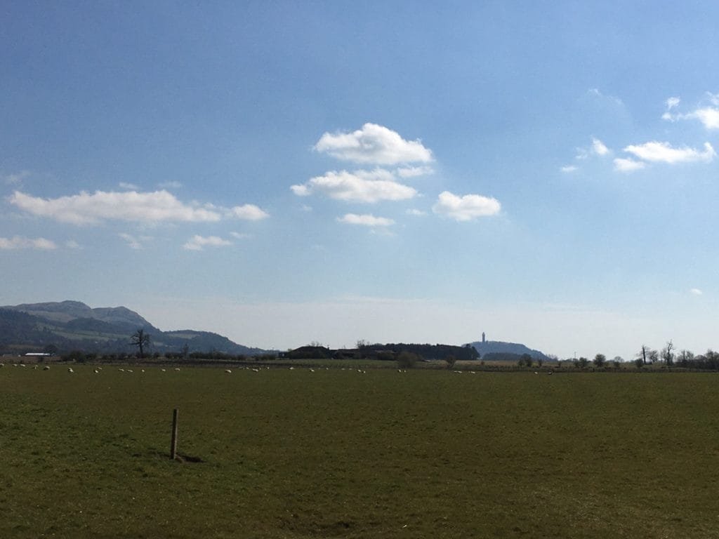
This left Castle Rock and Abbey Craig as promontories at the narrows of this lost sea, they sat at both the shortest crossing point as well as the upper tidal limit of the Forth. This became the key to control Scotland, if you wished to invade or resist invasion you did it at Stirling. And because of this Stirling, Scotland’s smallest city became one of the most important places in Scotland. At no other point in Scotland has so much blood and treasure to control such a wee place.
It has witnessed Celts, Romans, Britons, Picts, Scots, Angles, Vikings, Edward I, William Wallace, Robert the Bruce, Edward II, Cromwell, Bonnie Prince Charlie, Cumberland and played a decisive role in D-Day! For millennia everyone and everything came through Stirling and it took the construction of the Forth Rail Bridge, then the largest bridge in the world, to finally bypass us!
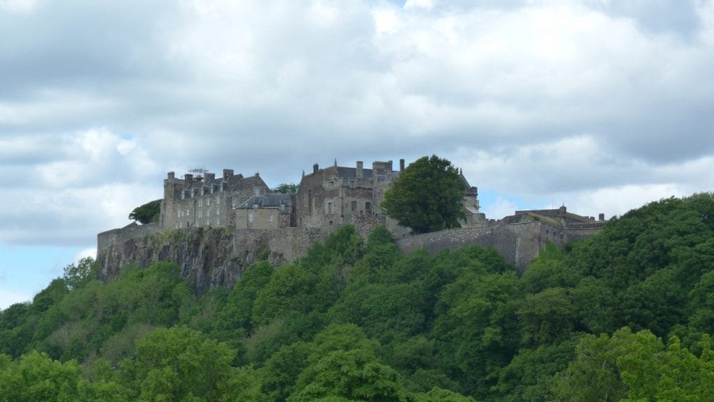
This huge history has left its mark all over this tiny place. Stirling is Scotland’s best preserved medieval city, boasting the best preserved city walls in Scotland, the best preserved Late Medieval hospital, one of Europe’s finest Renaissance palaces, the world’s oldest football, Mary Queen of Scot’s coronation, James III’s grave and murder scene, James VI’s coronation, Scotland’s first Protestant coronation, the site of a successful 16th century assassination of Scotland’s head of state, the home of tartan, Scotland’s first powered and unpowered flights, Scotland biggest royal rubbish dump, the world’s oldest curling stone, one of Scotland’s earliest churches, Scotland’s largest royal great hall, Scotland’s two most important battles, vitrified forts, Scotland’s oldest and best preserved Royal Park, connections to King Arthur and the Vikings, Britain’s last beheading, Scotland’s largest pyramid, one of the modern world’s first ecological disasters – and its oldest resident is 4000 years old!
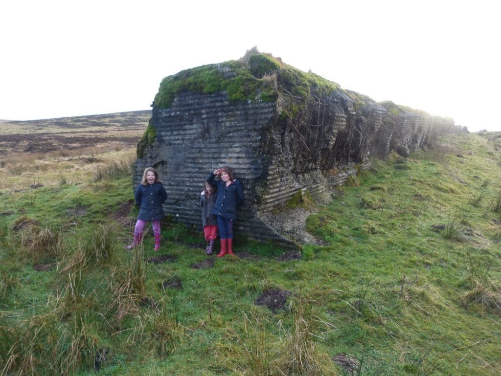
Stirling’s history is full of heroes and battles, grave robbing, witch trials, bloody beheadings, violent sieges, Jacobite plots, assassins, villains, plagues, Kings and Queens. At no other place in Britain can you walk for 30 minutes and go from 4000 year old carvings, across a medieval Royal Park, past walls built to stop Henry VIII’s army, through a medieval city, to a Renaissance Palace, past Jacobite and Cromwellian sieges, past a Celtic fort probably destroyed by the Roman army, to a medieval battlefield… and get a nice cup of coffee and a bun or a great burger or some superb whisky or gin!

No other river in Scotland has had as many names as the Forth, its been called: Bodotria by the Romans, Sinus Orientalis by the Angles, The Sea of Iudeu by the Britons and Myrkviford by the Vikings to name but a few. Its current name is Gaelic for ‘edge’ foir with a hard edge from the Norse fjord. From around the 730s to the 14th century it was considered the border with England, with Stirling and the Lothians not yet being quite Scottish!
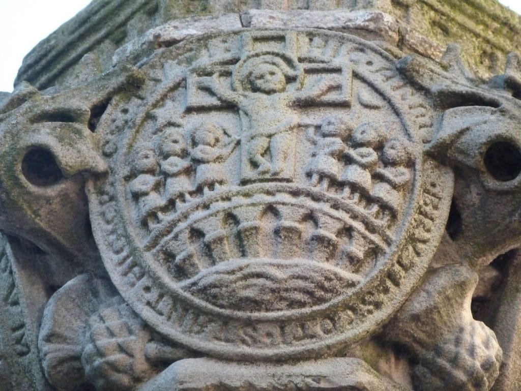
Nothing says this more than Stirling’s ancient burgh seal, one of the oldest in Scotland. It was first recorded on the Ragman’s Roll on which the defeated Scottish army pledged alliegance to Edward I after the disaster of the Battle of Dunbar in 1296. Round the edge of the seal is a Latin phrase: Scoti stant hic cruce tuti hic armis bruti. This is often translated as a wee poem: The Britons stand by force of arms; the Scots are by this cross preserved from harms. This is always taken to mean that there were both Scots and Britons in Stirling and reflected a time when Stirling stood in the middle between the Kingdom of the Scots north of the Forth around Perth and Dundee and The Kingdom of Strathclyde (Britons). More recently ‘bruti’ has been translated as meaning brute so the phrase might mean here brute Scots stand in arms, here safe in the cross. So they definitely didn’t think of themselves as Scots!
Stirling’s name and identity derives from its strategic location on the Forth and this is preserved in its Gaelic roots ‘srib-linn’: stream pool, although the modern Gaelic rendering is Sruighlea. The name connects it to the place at which the river became tidal, or perhaps more likely, the uppermost reach of the Forth estuary being navigable, possibly reflecting an early harbour here.
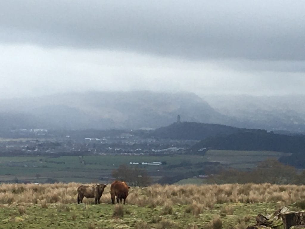
This means that everyone and everything that had to go north or south on foot had to go through Stirling until the building of the Forth Rail Bridge in 1890, the biggest bridge in the world at the time. This included over 100 million head of cattle!
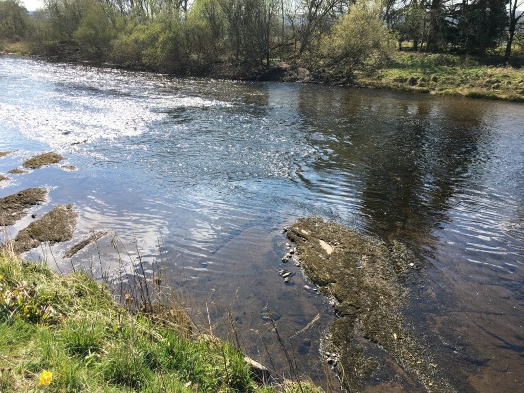
The Romans were the first to try to control Stirling and its crossing point, though they preferred to control the Teith. This ford here was used by perhaps 200,000 legionaries in all three of Rome’s futile attempts to defeat and control Scotland. It was used by both General Agricola and Emperor Septimius Severus.
After the Romans left the local people, the Miathi seized control of Stirling and its crossing point creating a a kingdom called Manau (probably from the Gaelic mon- for hill, referring to the Ochils and surviving in the name Clackmannan). This was centered on two very impressive hillforts: Abbey Craig where the Wallace Monument was later built and Dumyat (which means the fort of the Miathi).
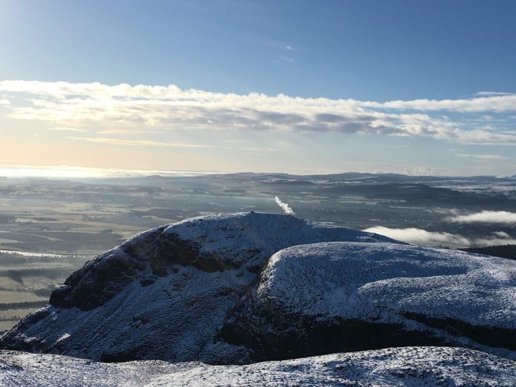
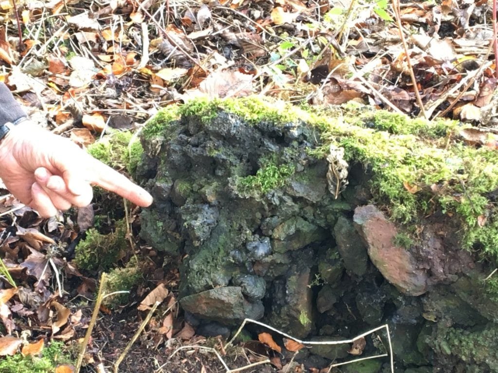
Both forts were destroyed by fire and ended up being vitrified. An incredible process, first identified in Scotland, where a fort’s walls are heated to around 1000 degrees centigrade, the water content erupts, the stone begins to melt and fuse. The process takes days and marks a destructive regime change, a statement of crushing power: the pillar of billowing smoke visible for miles during the days and thered glowing eye of destruction visible for further at night. The destruction of the forts marking the carving of Manau first between the Picts and the Angles and then the Vikings slicing through what remained.
Famously both Wallace and Bruce used their local knowledge of the Forth to great effect against English invaders during the first War of Independence. In general through the 28 year war, the English numbers were greater, they had better equioment and they were better trained and on an open field they would always swamp us. The only way to win, to protect Scotland was to use the ground, to understand it. The loups and hollows, the bogs and tides of the Forth were the only to control the English and hamper their movements and to save Scotland. Stirling Bridge and Bannockburn, the two greatest victories in Scottish history were only possible because of the Forth and it tributiaries: Wallace and Bruce’s greatest ally and the River that defined Scotland.


